Ascent Webinars
On occassion, Ascent provides webinars… (Manda to fill in).
{Content locker / email access form — would go here, before the videos}
Director of Client Solutions
 Bio coming soon.
Director of Land
 Hold for Lisa McCool bio.
Production Manager
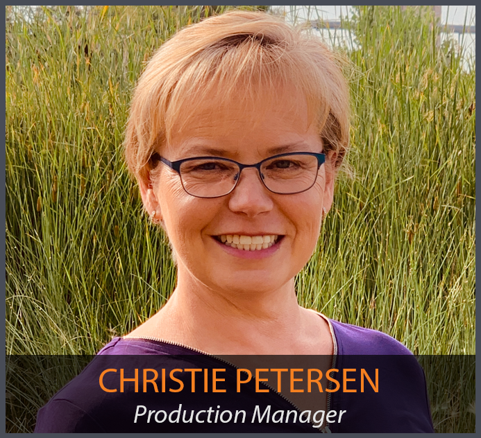 Hold for Christie Petersen bio.
Survey Manager – Colorado
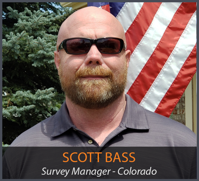 Scott Bass manages all Colorado survey crews at Ascent. He began at Ascent in 2019, and has a variety of skills, including GPS and Conventional field survey locations, AutoCAD Drafting, Revit drafting, Bid Package Preparations, Directing Operations, Business Development, Project Budgeting, and Deed Research/Analysis.
Survey Manager – Wyoming
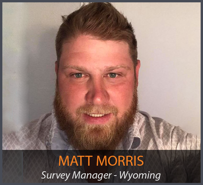 Hold for Matt Morris bio.
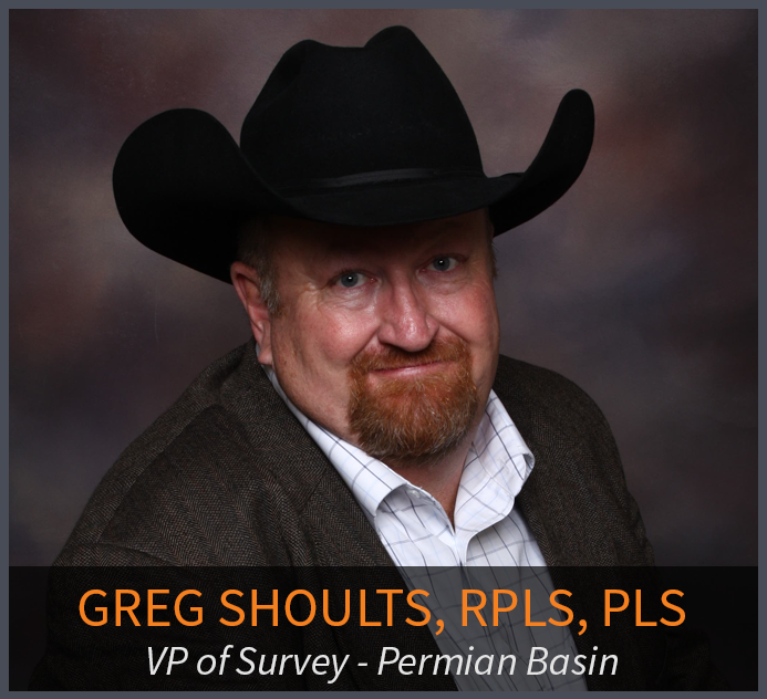
Vice President of Survey
Upstream Program Manager

Nick has over 9 years of experience in the energy sector specializing in Upstream and Midstream Oil and Gas Project Management, as well as mining. His experience in various roles has provided him expertise in wellsite geology, geosteering, drill rig oversight, water sampling analysis, and mining pre-feasibility studies. Nick has specific experience working on Oil and Gas Permitting projects in North Dakota, Wyoming, Colorado, and Texas providing innovative solutions for surveying and permitting locations from initial concept through as-built.
In his current role as Upstream Program Manager, Nick manages all facets of Upstream clients at Ascent to ensure complete client satisfaction and continued company growth throughout the Rocky Mountain Region. His areas of expertise include Colorado, North Dakota, Wyoming, and Texas Upstream oil and gas operations pertaining to survey, drafting, permitting, and construction of oil and gas assets. Some key projects Nick has managed at Ascent include the Noble Energy CPD, and large scale aerial mapping and Oil and Gas development projects. Prior to joining the Ascent team, he worked as the Assistant Manager of Geosteering Operations for Selman & Associates, and a Geologist/Hydrologist for Whetstone Associates. Nick holds a Bachelor of Science in Geology from Radford University.
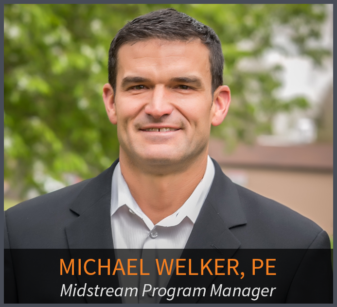
Midstream Program Manager
 Chief People Officer
Jen joined Ascent in September 2017 and oversees the Human Resources department as the Chief People Officer. Jen brings experience in leadership development, mergers and acquisitions, career development, change management and benefits administration. Prior to working at Ascent, Jen worked for DaVita in many different roles and brings a great perspective from growing her career at such a large company.
Jen holds a degree in Sociology from the University of Northern Colorado and an MBA from Capella University. Jen is also a Society of Human Resource Management Senior Certified Professional (SHRM-SCP).
Chief Financial Officer
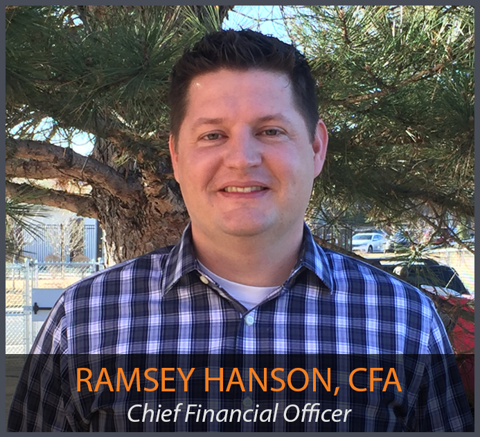 Ramsey joined the Ascent team in November of 2017 and is CFO, as well as overseeing the Accounting, Finance, IT and Operations functions of Ascent. Ramsey brings more than a decade of finance experience across multiple disciplines including budgeting, FP&A, M&A, controllership, pricing and contract negotiations and treasury management.
Ramsey is a Chartered Financial Analyst (CFA) and holds a Bachelors of Science in Corporate Finance and an MBA from the University of Nebraska Omaha and is a CFA Chartherholder.
 Founder
Driven by his entrepreneurial spirit and obsession for innovation, Steve constantly seeks ways to provide solutions to our clients that are above the rest. Steve’s organizational leadership is focused on creating an employee focused organization that values the creation of strong partnerships with our clients. Steve is passionate about the embodiment of what we call our “RATOW” culture; Relentlessly Accountable, Team Oriented, love to Win.
Until 2019, Steve held the role of CEO at Ascent, when he passed it onto Keith Hulen. Ascent Geomatics Solutions was created with the vision of becoming a broad-based service provider for Rocky Mountain exploration companies. Superior service, advanced technology and efficient operations allowed Ascent to take dominant market share in their service area and afforded Steve the opportunity to expand services, and add talented staff to grow the firm to where it is today. Ascent employs about 100 talented professionals that provide services in many states with large offices in Colorado and Texas.
Steve holds a Master’s degree in Global Energy Management, and serves on the board of Tennyson Center for Children and Families. Steve and his family reside in Arvada, Colorado and as a private pilot he is often flying to meet clients and work with his talented team across the country.
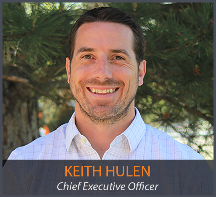 Chief Executive Officer
Keith joined Ascent in August 2016 and is Ascent’s Chief Executive Officer, and also currently manages all Business Development and Client Solution efforts. Keith has been working in Business Development for over 15 years in the Hardware, Software and Services industries. He has worked both as an individual sales contributor and sales leader on multiple occasions. Keith has experience selling and managing accounts ranging from small-medium sized businesses to Fortune 100 companies, including international organizations. He also built a world class sales training program for one of his previous employers.
Keith’s current responsibilities, in addition to being CEO, include managing all sales and marketing functions for Ascent, as well as overseeing all project and program management. Keith holds a BS in Business Administration and a Minor in History from the University of Northern Colorado.
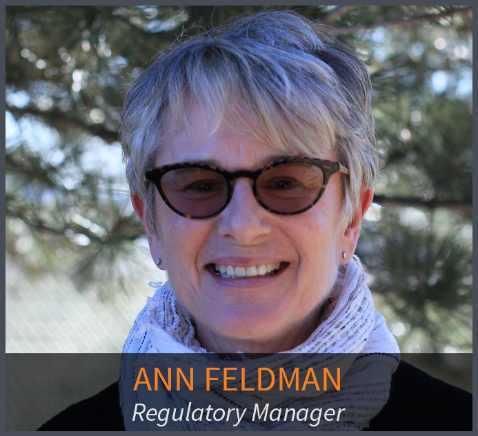 Regulatory Manager
With a BA from Syracuse University and 39 years in the oil and gas industry, Ann Feldman joined Ascent in March 2013 as Regulatory Manager. Ann brings experience in a wide range of areas, from well operations and regulatory compliance, to financial and project management, contract negotiation and investor relations. She has extensive experience permitting wells in Colorado, Wyoming, New Mexico, Utah, California, Texas and Louisiana. Ann believes that everything she has accomplished in her career to this point has led her to this junction, a position with a company in which she can build her career and thrive in years to come.
At Ascent, Ann works to ensure that the client and associated wells, locations, and facilities are in proper compliance with all safety regulations, permit conditions, and agency requirements. This position provides overall leadership for federal, state and local regulatory permitting in support of oil and gas activities. Since joining Ascent, Ann has successfully permitted thousands of oil and gas locations in Colorado and Wyoming. Projects include oil and gas well pads and facilities, pipelines, and compressor stations, with some key ones including permitting vertical/directional/horizontal oil and gas projects in San Juan Basin CBM (coalbed methane), TX/LA Gulf Coast, Sacramento Basin, Uintah Basin, Denver-Julesburg Basin (Niobrara shale).
Regulatory compliance is an ongoing process that allows our clients to commence, continue, and modify their projects. The Regulatory Department coordinates with all other Ascent departments and clients to secure the information required for regulatory filings. Additionally, Ann’s department tracks the regulatory process from the time permit applications are submitted to the time they are approved and issued. Ann’s primary duty as Regulatory Manager involves making sure all permits are submitted, approved and issued by all regulatory agencies, so our clients are confident they are in full compliance with all codes, permit conditions of approval, and agency regulations in order to conduct their oil and gas operations.
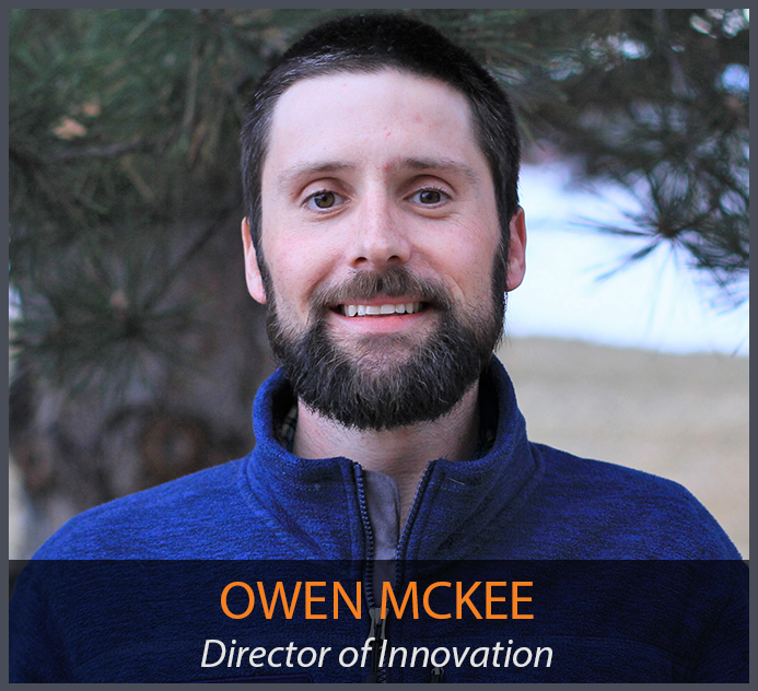 Director of Innovation
Owen joined the Ascent team in July of 2010. He functioned as a Survey Field Lead, organizing field crews and projects, along with collecting field data throughout the Rocky Mountain region for boundary, topographic, construction, and ROW surveys. Since then, Owen has developed a role in project management, managing the field work, drafting of exhibits, project timelines, and budgets, and is now leading innovation and product line development. He has also helped develop and implement Ascent’s remote sensing program, utilizing terrestrial LiDar and UAV based Photogrammetry. He has helped train other employees in UAV field collection, along with traditional survey field methods, to ensure processes and procedures are followed on every project. Owen has experience as a municipal surveyor, having completed boundary, construction, and control surveys. Through that work he has experience drafting, updating GIS databases/control networks, and had interactions with public and private entities to plan and complete publicly funded projects. Owen holds BA’s in both Physical Geography and Archaeology from the University of Denver, along with a certificate in GIS.
 Chief Operating Officer
As COO, he splits his time evenly between Denver, CO and Midland, TX in order to stay hands on with operations and grow the business. He manages 7 departments, including 130+ employees, across 5 states. Through disciplined management, cross training of personnel, and resource sharing, he has increased team utilization and profitability.
He has successfully managed multi-million dollar upstream and midstream projects in over 4 different Oil & Gas Basins (Bakken, Powder River, DJ, & the Permian). The projects generally involved multiple service lines including Land Surveying, Remote Sensing, GIS Analysis, Drafting, Engineering, Permitting, and Environmental services.
Since joining Ascent in July 2008 as Survey Field Tech, he’s worked as a GIS Analyst, GIS Manager, Project Manager, Sr. Project Manager, Director of Projects and Regulatory, and currently is the Chief Operating Officer. The variety of roles have allowed Bill to gain a rounded perspective on both Ascent and the oil & gas industry.
Bill holds Bachelor of Science from the University of Colorado where he studied Geography, Geology, and GIS
Service description coming soon.
Project Surveyor
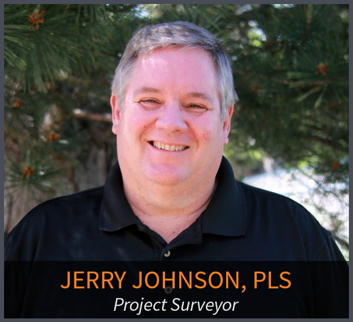 Jerry has more than 30 years of technical and project management experience in the field of land surveying. As a retired Colorado Department of Transportation (CDOT) employee of 30 years, he brings his knowledge of CDOT procedure and techniques to the team. He is involved in the day to day process, procedures, and workflows of the infrastructure related projects, project phase and tasks, and verifying the delivery of survey data for the infrastructure projects. Primary functions include the QA/QC of daily and final survey deliverables, project management, researching Right of Way records, ensuring Federal, State, County, and Local requirements are met, and the signing and sealing of survey related documents for recording. Jerry has been a licensed Professional Land Surveyor in Colorado since 1994.
Jerry has managed a wide variety of survey projects working for CDOT Regions 2 and 4 including: Preliminary Survey of I 25 North Corridor, Reconstruction of US Highway (US) 287 and State Highway (SH) 392 Intersection, Park and Ride on both SH 52 in Ft. Lupton and US 85 in Evans, and the Survey / ROW Representative for the 2013 Flood Assessment. This work included network control, preliminary surveying, and Right of Way research, recovery and monumentation.
 Program Manager
Chris Pearson joined the Ascent team in 2007 with a robust background in operations management and contract negotiation. Chris is in charge of the development, communication, and implementation of effective growth strategies and other company-wide initiatives. He has over 20 years’ experience managing capital development projects, with hands-on participation in ROW routing and construction planning, land surveying/engineering, and regulatory compliance in project execution. Chris provides oversight of projects in Colorado, New Mexico, Texas, Montana, and North Dakota, and lends extensive experience in these regions to the Ascent team.
Chris holds a Bachelor of Science in Design from California Polytechnic State University and a Masters in Business Administration.

Texas/New Mexico Survey Manager
Tim Pappas is a registered professional land surveyor in Texas, California, Colorado, and New Mexico. He has over 25 years’ experience in the surveying and mapping business, and has been involved with or managed projects ranging from large scale geodetic networks to subdivision design and platting to TXDOT highway right-of-way acquisition to oil and gas pipeline easement creation. Currently he is responsible for managing crews and survey projects in Texas and New Mexico, including boundary resolution and production of mapping deliverables.
Tim earned a Bachelor of Science in Civil Technology – Surveying and Mapping from the University of Houston and did post-graduate work in Geospatial Surveying Engineering at Texas A&M University – Corpus Christi.
Project Surveyor
 Bob has more than 40 years of experience in the surveying and mapping professions. He has worked in the capacity of owner, survey manager, office manager, and project manager for surveying, construction and engineering firms. As a Professional Land Surveyor, he has experience working on survey projects involving Primary control layout, construction, boundary, mining, oil-gas, topographic, and design. He has provided these services to a variety of clients including CDOT, Arapahoe County, Jefferson County, Clear Creek County, City and County of Denver, private engineering firms including CH2M Hill, Carter Burgess, J.F. Sato, Merrick & Co, Washington Group, Nolte Associate, and construction companies including Johnson Brothers Construction, Ames Construction Co., Sema Construction Co., KiewitWestern Construction, Kelly Construction and Lawrence Construction Co. Bob has been a Licensed Professional Land Surveyor since 1983, and holds an Associate Degree in Surveying from Red Rocks Community College.
Bob has managed surveying for CDOT construction projects since 1985, including the I-25 and I-70 interchange, the US 36 and I-25 interchange, the 6th Avenue and I-25 interchange, I-76 and Pecos Blvd, Highway 9, I-70 and Pena Blvd, Highway 285 phases 2-5 in Jefferson County, I-70 and Hidden Valley in Clear Creek County, C470 at Yosemite In Douglas County, and 12 miles of I-70 in Green River, Utah. In addition, Bob has also worked in PLSS boundary retracements, open pit mining projects and subdivision layout, including construction, boundary and final platting.
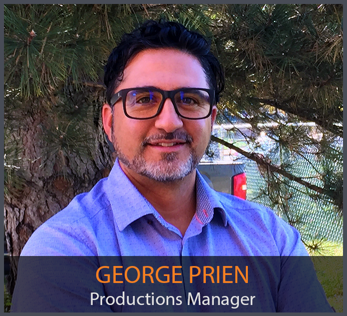 Productions Manager
George has over 20 years of experience in the energy sector, specializing in Midstream Oil & Gas and Land Development. His experience in various roles has provided him expertise in GIS Data Management, IT Management, Database Administration, Consulting, Construction Support, Pipeline Integrity Management, and Business Development. George also has specific experience working with many software products including: ESRI/ArcGIS, AutoCAD and other CAD products, BlueSky, DASH, and other various mapping programs. Prior to working at Ascent, George worked at ENGlobal and CH2M Hill. George holds an Bachelor Degree in MIS from Colorado Technical University, an AAS Engineering Technology from Denver Technical College, and attended The University of Colorado in Civil Engineering. George is also Level 1 BlueSky Skyline Certified.
 Engineering Manager
Michael Pool joined Ascent in June 2012 and is currently the Engineering Manager. Michael leads the Data Management group which consists of surveyors, engineers, drafters, GIS and regulatory. He is a professional civil engineer and land surveyor with over 20 years of experience with land development and oil & gas projects. He holds a Bachelor of Science from California Polytechnic State University San Luis Obispo where he studied Civil Engineering.
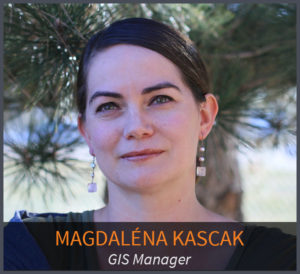 GIS Manager
Magdaléna brings over 14 years of work experience in GIS, natural resource and asset management. She is experienced in data management, geodatabase building, relational databases, spatial analysis, spatial statistics and cartographic presentations. Magdaléna worked on a wide range of projects pertaining to the oil & gas industry, basin-wide hydrogeological studies, resource and hydrologic modeling, regulatory and permitting support as well as civil engineering projects, storm water and erosion control programs and transportation studies. She has been working with data in Colorado, Utah, Wyoming, Montana, North Dakota, Texas, Louisiana, Pennsylvania as well as international projects in Canada, Mexico, Colombia, Cameroon, Australia and other regions.
Additionally, Magdaléna has field experience in ground and surface water sampling and in GPS collection of natural resource data. In her honors thesis she evaluated a multi-variable predictive model developed for the Forest Service and utilized aerial photographic interpretation among other photogrammetry and remote sensing analysis techniques.
Magdaléna is experienced in providing technical support and training in GIS/GPS and spatial software. Her work also included database maintenance and database administration of spatially-enabled SQL multiuser databases, as well as servicing the needs of the web-based mapping application integrating desktop, internet and Transact-SQL platforms.
In her role at Ascent, Magdaléna is responsible for the stewardship of spatial data, administering centralized data storage and supporting web-enabled mapping application for asset management. She has been guiding project teams to streamline data flow and integrity from field data collection dispatch to final client deliverables. She has been developing custom tools to provide automated and efficient data conversion, quality control and data dissemination.
Magdaléna holds a BA in Environmental Studies with concentration in Spatial Analysis from Mount Holyoke College and MS in GIS from University of Denver.
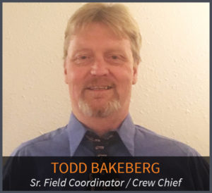 Senior Field Coordinator/Crew Chief
Todd Bakeberg joined Ascent in 2012 and for the past 4 years has been coordinating survey field operations and leading project execution of surveying services on major projects. Todd has worked in the field on upstream and midstream projects in multiple regions, ranging from North Dakota to Texas. Survey work included from boundary surveys, topographic surveys (Including drainage surveys & floodplain cross sections), construction surveys, as well as horizontal and vertical control networks.
Prior to joining Ascent, Todd worked in Land Development for 16 years. Todd was the lead surveyor on multiple construction, topographic, highway, and boundary projects, as well as recent environmental and gas pipeline survey projects. Experienced in handling the research needed for new projects, doing calculations for field staking, and handling multiple contractor requests to get the job done efficiently and on time. He also has experience as an equipment operator, laborer, and stake jumper for a construction company, which allows him to understand just what contractors need to be productive and efficient.
Major Survey Project Experience:
 Colorado
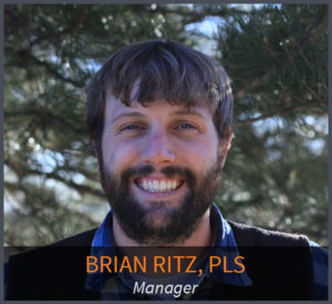
Brian Ritz joined the Ascent team in May 2011. Beginning as a Field Technician, Brian led a field research crew on projects throughout the Rocky Mountain region. His experience with many boundary projects in Colorado, Wyoming, Montana and North Dakota taught Brian valuable lessons in retracing and deciphering the PLSS used in those states. He subsequently passed the Colorado PLS exam in February 2015.
Brian’s primary responsibilities at this firm focus on facility construction, boundary surveys, pipeline routing and staking, as-built surveys, and right of way creation. The team relies on Brian for data processing, field coordination, data management, CAD drafting, and Survey Department leadership.
 Data Processing Specialist
Data Processing Specialist with extensive experience with processing of massive amounts of geospatial information coupled with 19 years of varied and progressively responsible experience in land surveying and 3D laser scanning and modeling for both static and mobile LIDAR provides variable support for numerous transportation projects. His understanding and experience in processing LiDAR data with several different processing software: RiSCAN PRO, Terrascan/Terramodel/Terramatch. TopoDOT, Orbit GIS -LiDAR classification, GPS, Cyclone 3, Polyworks, Phidias, Land desk Top 2007, Microstation V8I, and Leica Geomatics Office, Pix4D, is a valuable asset to accurate data processing across many platforms. He has acquired hands on experience with a variety of tools including the Sokkia total stations and SDR data collectors; Geodometer Robotic Total station with Trimble data collectors (Trimble 4600, 4700, 4800, 5700, 5800 GPS systems); Lieca 700, 1100 total stations and robotics. Lieca 500, 1200 GPS systems; Cyra/Lieca Cyrax 2500 Laser Scanner; 3Dguru Laser Scanner; Z+F Laser Scanner; IQvalutionLaser Scanner; Riegl’s z390; z420 Laser Scanner; and the Streetmapper 360 and StreetMapper Portable Mobile Mapping systems.
 Controller
Rick joined the Ascent Geomatics Solutions team in March of 2015 as Controller. Rick’s background includes over 20 years of experience in business management, accounting and information systems management for professional services firms in the Investment/Insurance, Manufacturing and Engineering Services industries. He also has over 12 years of experience ERP Systems Training and Implementation Consulting to these same professional services business sectors. After growing up in Colorado, Rick graduated from Colorado State University with a Bachelor’s of Science degree in Business Administration with concentrations in Finance, Accounting and Economics.

 Upstream oil & gas operators have one simple goal: find and drill hydrocarbons. To do this, operators must navigate the regulatory gauntlet to receive their necessary permits. Without the proper expertise and experience, operators can lose valuable time and possibly even lose the location itself to another operator.
By having the right process, team of experts, and understanding the most efficient ways to navigate federal, state and local municipalities and government regulators, ASCENT has proven that it can permit 33% faster on average than permits that ASCENT was not involved with.
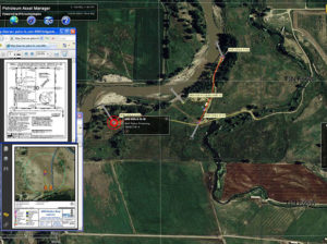 Extended Text for Popup: The ability to manage all your assets is critical to running an efficient organization. Having the ability to view floodplain, wildlife and/or utility lines can help operators better plan their sites for Surface Use Agreements (SUA).
The risk of not knowing valuable surface information around your assets or new potential assets can be very costly and ultimately delay project timelines. Learn how ASCENT can help you manage your assets so your projects stay on-budget and on-time.
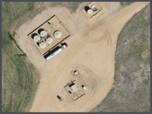 Viewing up-to-date aerial imagery can help save companies thousands of dollars by avoiding previously unforeseen challenges at the site location.
Viewing up-to-date aerial imagery on potential sites has not historically been economical. However, now with the emergence of Unmanned Aerial Vehicles (UAV), the ability to evaluate the best location for well pads and facilities is now possible.
Contact ASCENT to understand how unmanned aerial vehicles can give you valuable intelligence so you can pick and plan the best site the first time.
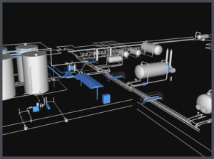 Most oil & gas operators will create as-built drawings for their well pads, pipelines, facilities and any other construction related projects. ASCENT has completed thousands of as-built surveys and drawings for our clients. Our extensive experience has taught us the most efficient and cost effective ways to create these as-built deliverables.
In addition, companies are now leveraging ASCENT’s experience in LiDAR to complete as-builts because they provide engineering-grade data should that operator decide to expand or modify that site in the future.
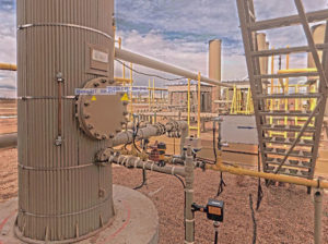 When companies are looking to design, or modify a facility, there is no reason not to use LiDAR technology. LiDAR provides design-grade accuracy with 3D modeling to see how the facility will look after construction.
The challenge is finding a company that knows how to properly collect, analyze and deliver LiDAR data while ensuring all the data is geospatially accurate. ASCENT is a leading expert in providing LiDAR data for facilities.
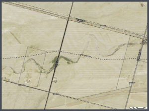 Pipeline projects can cost millions of dollars. Missing the project timelines can cost midstream operators even more money. That is why planning on the front-end of the project is so important.
With up-to-date aerial imagery, videos and photogrammetry, midstream operators can see exactly what the route looks like with their own eyes. This type of intelligence allows them to plan the best possible pipeline route and avoid unforeseen obstacles or barriers that may delay the timeline of the project.
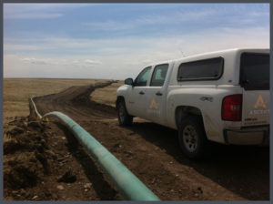 Longer pipeline corridors can take a significant amount of time to create topographic surveys with traditional methods. With aerial LiDAR, ASCENT can significantly reduce the time it takes to create these topographic surveys while providing a tremendous amount of useful data. This highly accurate pre-construction LiDAR data can then be married with highly accurate after-built LiDAR data to determine the precision of the planned and constructed pipeline.
Less time surveying on the front-end of the project helps to ensure the pipeline stays on-time and on-budget.
Don’t be surprised on your pipeline projects. Collect the intelligence you need to make data-driven business decisions throughout the entire pipeline project lifecycle.

OLYMPUS DIGITAL CAMERA


Ascent Geomatics Solutions offers professional boundary retracement in order to determine ownership and define individual parcels of land. Whether working under the Public Land Survey System, or in regions in which metes and bounds prevails, Ascent Geomatics Solutions has experience with these unique systems of land division. Proper delineation of property and section boundaries helps resolve property disputes and concerns. Thus, diligent parcel research and the on-site collection of section monumentation, as performed by Ascent, helps our clients protect their investment and development plans.
The Importance of “Section Breakdown”
Section breakdown, or the surveying of monuments that define section boundaries, is the cornerstone of all subsequent surveying operations— you could consider section breakdown the foundation on which our more complicated services are performed.
Our seasoned surveyors perform the necessary records research and comply with the requirements put forth by Local, County, State, and Federal entities. With experience ranging from Texas to Montana, we pride ourselves on timely and accurate results that make us the preferred service provider for our clients.
Ascent works with clients of all sizes to meet their section breakdown needs and provide any other complementary surveying or engineering services needed to complete the project. The driving force on every survey job is to put forth the highest, most accurate level of work possible and to exceed client expectations. As section breakdown remains a cornerstone of any surveying project, Ascent Geomatics Solutions approaches every breakdown job with a focus on high precision and timely execution.
Service description coming soon.
Photogrammetry is the science of making measurements from photographs. Essentially a camera is hand-held or mounted to an aerial vehicle and multiple overlapping photographs are taken. These photographs then need to be processed where they are stitched together to create maps, drawings, and/or 3D models. Photogrammetry is fantastic for volumetrics, up-to-date imagery and in some cases surveying.
Service description coming soon.
Using aerial photogrammetry can give accurate maps, drawings or 3D models over large acreage sites in fractions of the time it would take with traditional methods.
Using up-to-date photogrammetry can provide organizations with current intelligence about a particular area of land. This is extremely helpful in planning phases, before and after results, and in some cases surveying large plots of land.
186,000 feet per second x 150,000 light pulses per second means you can gather millions of data points with millimeter accuracy in fractions of the time it would take with traditional methods.
Accuracy with LiDAR is within millimeters, meaning that the point cloud that is ultimately created can be designed and engineered based of the information collected.
LiDAR or “Light Detection And Ranging” uses ultraviolet, visible or near infrared light to image objects. In the same way SONAR bounces sound waves off an object and reflects to the source, LiDAR works in the same way reflecting light, or laser pulses, and measures the time it takes to return that light back to the source. When you consider light moves at 186,000 feet per second, this process is occurring very quickly. Some LiDAR instruments can send out 150,000 light pulses per second which means the instrument can gather millions of data points in a matter of minutes. These data points are then collected into a point cloud which gives a dense 3D model with millimeter accuracy.
Service description coming soon.
Service description coming soon.
Service description coming soon.
Service description coming soon.
Whether performed by operators on a voluntary basis, or required at the state or local level, baseline and subsequent water sampling provides comprehensive water quality data. Proper water sampling and analysis will involve taking a baseline sample before drilling activity has begun, and then following that baseline water sampling up with subsequent, post-drilling groundwater testing. This approach ensures that oil and gas operators can be fully aware of the environmental impact of the project. States that require some form of baseline water sampling include North Dakota, Wyoming, and Colorado (which is the state with the most stringent water quality regulations).
Because groundwater has the potential to be predisposed to contaminants from farming to proximal industrial activity, it is important from an operational standpoint to understand the condition of water quality before and after well drilling and production. The groundwater site will be managed by a member of our environmental department, gathering water samples for laboratory testing in two rounds, one initial sample and one to two follow-ups. Our experienced staff is knowledgeable when it comes to the rules of regulatory agencies and is well-versed in providing intelligent solutions that fit the needs of your company.
The Water Quality Department at Ascent is accomplished and industry informed, ready to take on any sampling project. We pride ourselves in being the leaders of our industry when it comes to providing world-class service and client satisfaction.
Service description coming soon.
Ascent Geomatics proficiently develops compliance programs and strategies by leaning on our extensive experience and knowledge of major Federal and State regulatory air programs. Our exceptional team of Air Quality Specialists work diligently to stay current on the ever changing guidelines and regulations of the Oil and Gas industry.
We work together as a team on each project to be able to provide record keeping, source testing and sampling services in accordance with these requirements. The ability to evaluate data that is maintained and up-to-date offers a huge advantage to the client; Monitoring data is consistently reviewed and degrading conditions are then easier to spot and remediate. With a customized approach to fit each project, data is recorded and tracked based on our client’s specific needs. Ascent Geomatics Air Quality Monitoring team has years of industry experience to help guide our clients through the best practices of data tracking and record keeping.
Ascent Geomatics excels at assisting Colorado oil and gas operators with Regulation 7 reports. Our skilled team members are familiar with every aspect of this Colorado requirement, including the new 2015 revisions to reg 7. Control of Volatile Organic Compounds and Hydrocarbons has become increasingly important for the oil and gas industry as the environmental movement continues to successfully lobby for new regulations. Here at Ascent we can get your operation up to speed and in compliance with reg 7 or any other regulation.
The goal of Ascent is to work on each project, providing accurate and responsive results, and to meet and exceed the expectations of our clients. Every project is important to us, serving as an opportunity to showcase our exceptional team and our level of commitment.
Routine, semi-annual, and annual compliance reports are a regular component of doing oil and gas business in today’s regulatory environment. These compliance reports convey required information to federal regulatory agencies about operational activity, parameters, and environmental impacts. These compliance reports must show that the industrial operation adheres to federal and state air quality guidelines.
Our knowledgeable staff of air quality specialists is ready to provide our clients with record keeping, source testing and sampling services. All of these services are offered to help oil and gas projects stay in compliance with all local, state, and federal requirements. Internal data reporting and compliance reporting can be required on a variety of projects, from incremental compliance reporting to visibility impact reporting. The Air Quality Department atAscent Geomatics works conscientiously with our clients to develop a customized approach on each project, addressing the critical needs and objectives required to complete the job. Our staff consists of industry experienced air quality specialists that are committed to delivering an accurate compliance report with a quick turn around time.
Ascent Geomatics strives to set the industry standard when it comes to providing service to oil and gas operators. We believe that the work we do is important to not only our clients, but to our company. With every project we undertake, we place a great emphasis on precision, timeliness and client satisfaction. Our dedicated approach has paid off, asAscent Geomatics has remained in business for a decade, with an ever-growing list of satisfied clients.
Most state and local agencies require ongoing reporting of air pollution emission inventories, with fees assessed based on either actual or potential emissions. The department of Air Quality Monitoring atAscent Geomaticscommits to serving our clients needs in the most effective and fast acting approach. The team of experienced Air Quality professionals work together to provide in-depth emission inventory development (EID) services that go above and beyond just completing forms. Our knowledgeable staff evaluates a facility’s emission units to apply the most appropriate emission factor and acquire process throughputs and parameters to ensure an accurate inventory and subsequent fee assessment.
The professional and industry-relevant experience of our Air Quality Monitoring team is unrivaled amongst our competition. We commit to providing the highest level of attention and process when it comes to emission inventory development projects undertaken for our clients. Whether large or small, every project receives proper analysis and is approached with the best standard practices available. Ascent Geomatics is here to meet and exceed expectations for every project that we take on. Emission Inventory Development (EID) projects are led by industry professionals with earned knowledge and experience. The team members of our Air Quality Monitoring Department are fully capable and committed to serving our client’s project needs.
Ascent Geomatics Air Quality Monitoring Department routinely prepares applications and all supporting documentation for our client’s project needs. Regulatory requirements necessitate Oil and Gas operators to design operating and maintenance plans based on a set of standardized criteria.
Once an agreed upon approach has been developed and the documents have been prepared, our experienced team of Air Quality specialists then shepherd the application through the regulatory agency review process. All documents to be submitted to regulatory agencies are rigorously prepared, reviewed and evaluated to assure they are accurate, complete and timely.Ascent Geomatics also guarantees that operating and maintenance plans are in regulatory compliance with all local, state and federal regulations, as well as consistent with any applicable agency requirements. We stay up-to-date with all new rules and regulations implemented by local, state, and federal government agencies and assess the impact to operations and modifications required to remain compliant. Timeliness and cost are critical factors when it comes to compliancy and our staff truly understands the need to create solutions to meet these components.Ascent Geomatics employs the industry’s best and our Air Quality Monitoring team exemplifies this. Each project is diligently reviewed promptly and with precision. Our dedicated staff work together to develop upon and design the best approach for each individual project, keeping the clients needs at the center.
Service description coming soon.
Mandated by state and local governments, regulatory setbacks are well defined distance minimums established to provide a safety buffer between site development and buildings such as schools, daycares, and churches, and other geographic areas of concern for oil and gas activity.
Utilizing existing cultural GIS data and newly gathered, site specific survey data, our in-house GIS team meticulously analyzes any potential regulatory setback boundaries which could affect a potential oil and gas project. Any and all potential violations are known from the earliest stages of site planning. This proactive approach to each project enables your team to move forward with confidence, knowing that all regulatory setback considerations have been factored into project planning and that your project is in compliance with all applicable state and federal mandates.
Ascent Geomatics’ GIS Department has the technical ability and industry experience to produce the highest quality results for our clients and because of our comprehensive service offering. We have the ability to take a project from start to finish, from site planning to staking to full plat package; we do it all. Every project has different needs and our GIS team works tirelessly to develop the most fitting solution. It is a core value of our company, it is our standard of excellence, to complete every job to satisfaction.
On every prospective Oil and Gas project, sensitive environmental and archaeological land features must be taken into consideration. Protection is granted to many species and habitats that may be considered under threat. Many large tracts of land are also protected for historical purposes and/or preservation of any potentially submerged cultural resource. Geographic Information Systems (GIS) layering and analysis of geospatial information allows the client to make planning progress on projects which take place near these zones. GIS is indispensible in this situation, because computerized mapping tools automatically call attention to areas of concern and their buffering zones.
With ever-changing environmental regulations and archaeological considerations to be concerned about, Ascent Geomatics Solutions eases your compliance worries by making sure that each one of your projects receive proper evaluation. Our experienced GIS staff is trained to spot potential issues from the beginning stages of a project. With the combined use of geospatial and survey data, compliance needs are recognized from the start. Using GIS data, our team can forecast environmental and archaeological concerns that have the ability to delay or halt projects, saving the client both time and money.
Ascent’ desktop survey operation routinely reviews wildlife datasets, including spatial information regarding sage-grouse, lesser prairie chickens, and bald eagles. We also possess a large quantity of quality datasets depicting areas of archaeological interest or protection. These valuable GIS datasets are reviewed early in the process for anything that could disrupt a client’s project. By utilizing our trained staff and proprietary datasets, a client can save valuable project time and minimize the need for corrective action if a conflict is discovered later in a project’s lifespan.
Service description coming soon.
Service description coming soon.
As your company continues to grow, so does the importance of capturing and managing your data. But not all Geographic Information Systems solutions will work for all companies and all projects. A custom database design for managing GIS data assures that your company can easily access and understand all information relevant to a task. This is accomplished by capturing and storing spatial information in a geographic database that is tailored to fit your specific needs and desires.
Ascent Geomatics Solutions employs experienced staff who work directly with our clients to develop a strategic approach to database management on a project or company-wide level. In the oil and gas industry, there are many compelling reasons to stay ahead of the curve when it comes to data and asset management. As the saying goes, ‘You’re only as good as your data,’ and we pride ourselves on the ability to deliver valuable datasets and custom databases with integrity and intelligent design.
Ascent Geomatics Solutions GIS team packages project data into a geodatabase, or a Spatial Database Engine (SDE). These custom database designs enable you and your entire company to not only manage incoming data, but to analyze and act on that data as well. By providing our clients with the ability to organize and analyze fresh data, Ascent Geomatics Solutions’ custom database design allows for up-to-date, relevant and time-sensitive decisions to be made quickly and comprehensively. This is a competitive advantage, potentially saving our clients both time and money on project management.
Service description coming soon.
Service description coming soon.
The uses of Geographic Information Systems (GIS) are limitless when it comes to tracking and managing your projects. The GIS systems used here at Ascent Geomatics Solutions are incredibly versatile. Our ability to record, view, convert, and format data through GIS is unrivaled. As the oil and gas industry continues to develop, the need for site operators to manage large amounts of data will only increase.
As the quantity of raw data increases, so does the importance of GIS data management. All the information in the world is useless if you do not have accessible tools with which to sort and understand that data. Ascent Geomatics Solutions’ GIS data management tools help our clients quickly and easily analyze their GIS data.
Our GIS department works closely with your team to provide a customized solution and quick turnaround for any project need. Our skilled office staff swiftly turns field survey data into visual, spatial data with a few clicks of the mouse. Out in the field and looking for a rough overview of the site plan? Drop a Keyhole Markup Language (KML) or KMZ file into Google Earth and watch your plans overlay the field imagery on site, in real time. Our experienced GIS team is here to meet the short and long-term project needs of our clients, supplying shapefiles, KMZ files, Spatial Database Engine (SDE) formatting, geodatabases, and any other special request that may be needed. Readily available GIS data increases our clients’ ability to share information easily between all project members and also maximizes the ability to analyze and determine site feasibility.
The Spill Prevention, Control and Countermeasure Plan is a preemptive document drafted by site planners with the intention of preventing harmful pollution from occurring after a dramatic spill or site incident. The point of developing a SPCC plan is to prepare a work site for spills before they happen, rather than developing a plan as a reaction to an incident.
EPA Regulations (Title 40, Code of Federal Regulations, Part 112) states that any facility with an above ground storage capacity greater than 1,320 U.S. gallons (or a completely buried capacity greater than 42,000 U.S. gallons) with the potential for a discharge into or upon a navigable water of the U.S. is required to prepare and maintain a SPCC plan. As cited by the EPA, the definition of oil is any kind or in any form including, but not limited to, petroleum, fuel oil, sludge, oil refuse and oil mixed with wastes other than dredged spoil and oily mixtures.
The SPCC necessitates planning and designing in accordance with EPA regulations and requires site visitation and examination by a registered professional engineer in order to be valid. Our proficient team of professional engineers can assist you in preparing a site-specific or field-wide SPCC plan to keep you in compliance with EPA protocols. Our engineers have many years of experience with all aspects of oil and gas development, planning and regulation.
Ascent Geomatics operates under a standard of excellence, delivering the highest level of quality on each and every project.
In 2012 the Environmental Protection Agency (EPA) put a new standard of construction guidelines in place with the Construction General Permit. These new EPA guidelines were designed to safeguard water supplies by minimizing the risk of harmful pollutants. Based on this document, Stormwater Pollution Prevention Planning (SWPPP) and Inspection are now often a required step for oil and gas operators to complete. SWPPP oversight ensures that an operator is committing to responsible site planning and drilling practices.
The SWPPP seeks to discern any and all possible sources of pollution that have the potential to affect the quality of stormwater runoff. This analysis includes both facility construction and eventual daily operations. Once potential pollutants are identified, an approach of selected practices are taken to contain those sources of pollution with sound, quality engineering. Installation, implementation, and maintenance are prepared by our experienced team of professional engineers to safeguard regulatory compliance.
Our skilled and accomplished group works together meticulously on each project to provide you with the most cost-efficient and advantageous plan to fit your needs. With years of experience ranging from North Dakota to Texas, Ascent Geomatics Solutions strives to bring forth an elevated experience that is project focused and client driven. It is our mission to be the best in everything that we do, working actively to complete projects timely and efficiently.
Occasionally drilling projects take place in locations that require an extra level of engineering and planning oversight. Floodplains are one of these areas which require special engineering and permitting.
Defined floodplains are established by the Federal Emergency Management Agency (FEMA) and must be considered if site planning falls within these boundaries. Our skilled group of professional engineers are industry experienced and ready to create a plan that fits the needs of your project while also adhering to Best Management Practices (BMP). Our engineers and office staff are experienced and prepared to help our clients tackle the challenges of developing and permitting a site within defined floodplain boundaries.
Many different considerations are involved in the construction of an effective stormwater or floodplain management plan. Keeping construction from having a negative impact on water quality is of prime importance. Ascent also provides custom management plans where we work directly with our clients to design responsible erosion and sediment control practices which will apply throughout the entire life of the project.
Our professional engineers are licensed throughout the Rocky Mountain region and accomplished when it comes to all rules and regulations of stormwater management and floodplain permitting. Whether you need a refreshed plan for existing plats and accompanying facilities, or an overview of current projects set to move forward, we are prepared and qualified to offer you stormwater/floodplain management solutions.
Simply put, Ascent Geomatics Solutions aims to deliver a product that meets and exceeds the needs and expectations of our clients. With our years of experience in the field, we here at Ascent are confident that we can meet any and all floodplain or stormwater management needs that our clients might have.
Service description coming soon.
Service description coming soon.
Service description coming soon.
Service description coming soon.
Service description coming soon.
Service description coming soon.
Service description coming soon.
Service description coming soon.
Service description coming soon.
Service description coming soon.
Service description coming soon.
Service description coming soon.
Service description coming soon.
Service description coming soon.
State oil and gas regulations require all wells to have formal documentation, beginning at the planning phase and continuing through to the as-drilled phase of a proper, finished well. This request is completed in the form of a well location certificate. A well location certificate is required for each individual well that is drilled. The well location certificate must describe several technical specifications of the project, including the surface location coordinates, bottom hole coordinates, and the bearing and distance for the bore path, along with the coordinates of any nearby wells which may already exist. This information is then bound within the defined section of a surveyed property line and section boundary.
Our fully integrated survey team not only documents all pertinent information, but is also trained to identify any potential problems that may arise in the field or upon data interception. Qualified engineers and engineering technicians then work together using the latest computer aided design (CAD) software to create the required well location certificates. These drawings are rigorously checked by senior team members here at Ascent Geomatics Solutions in order to ensure their accuracy and adherence to proper procedure and regulations. Once approved, our professional land surveyors review the document once more, assuring that all information on the well location certificate is accurate and up-to-date, before they finalize the process with a sealed stamp of approval.
Ascent Geomatics Solutions dedicated survey and engineering staff commits to providing our clients with timely, exceptional service on every well location certificate it completes.
A topographic survey identifies and maps the change in elevation throughout a defined area of land, using contour lines. A topographic survey includes both natural and artificial features, and maps the ground and any objects which may be overhead. Most often, topographic surveys serve as a base-level map to aid in the design of a construction project.
For oil and gas projects, topographic surveys are commonly required to perform site planning and design for well pads, production facility layouts, access roads, and pipeline alignment. Our experienced survey team approaches each job methodically. Our surveyors consider the unique quirks and qualities of each survey plot before acting. After careful consideration, our team will use the latest in GPS technology to begin the survey. This approach is complemented by conventional topographic survey methods in situations where a traditional approach would be more efficient than a technological solution.
At Ascent, we understand the demands of our client and their projects, the urgency that comes with each job and the critical need to produce accurate, reliable work. No matter the size or scale of your topographic survey our primary goal is to offer a customized solution in a way that fits your project needs.
Complementary to our topographic survey, Ascent Geomatics Solutions also provides clients with the option to contract our supporting engineering department for further topographic design and grading.
Service description coming soon.
Service description coming soon.
Ascent Geomatics Solutions begins alignment and route survey operations with thorough land record research. We follow this intensive office research up with an initial, boots-on-the ground survey. This field survey allows our project planners to locate necessary corners, utilities, obstructions and other encumbrances that could have an effect on the project’s overall design. Following this activity, our engineers work hard to design the most efficient route, while optimizing acreage. Simultaneously, our licensed and experienced surveyors prepare landowner documents which will be used for negotiation and/or recording purposes.
Accomplished and equipped to handle all aspects of a route and alignment job, Ascent Geomatics Solutions’ survey crews remain ready to take on any and all projects. Alignment sheets, route survey, custom landowner exhibits, right-of-way exhibits, and land record research are all included in a high quality, customizable package we use to fit the unique needs of our clients.
Bridging the service gap with our own in-house surveyors, engineers, and regulatory staff, we can complete a new route from inception to design; helping shepherd your project past byzantine permitting restrictions, through to construction and final as-built.
Our expansive list of completed route and alignment projects speak to our ability to perform any sized task with efficiency and accuracy. Our staff of dedicated professionals proudly stands behind their work quality from start to finish.
Here at Ascent Geomatics Solutions, we pride ourselves on delivering a superior end result.
Service description coming soon.
Construction staking surveys are conducted to provide critical project data needed by engineering staff and construction leads. Whether you are working towards completing production facilities or planning a site from its initial stages, Ascent Geomatics Solutions has the experienced staff and technical ability to complete the job.
Every construction staking job is unique and our team recognizes and adapts our approach to the individual needs of our clients on a project-by-project basis. Throughout the Rocky Mountain region, our seasoned crew of surveyors meticulously stake well sites, facilities, pads, grading, and alignments to your specifications. Our unique approach to construction staking minimizes disturbance to existing land use and takes into account the environmental impacts associated with construction projects.
Due to our comprehensive suite of services, Ascent can take a project to the next step, preparing exhibits required for regulatory documentation. As industry demands continue to increase, our clients can rest assured that Ascent is constantly working towards maximum efficiency using the latest in GPS technology and surveying software. Our standard practice is that the client’s project, no matter the size, remains at the forefront of all of our work.
We are happy to discuss creating custom solutions to solve unique problems. Ascent Geomatics Solutions is dedicated to meeting all of the surveying of every client we take on.
Service description coming soon.
An As-Built survey is designed to be a detailed report of existing structures, pipes, flowlines, wells, and production facility locations.
Our staff of accomplished surveyors utilize the latest-in-industry RTK GPS (Real Time Kinematic Global Position System) technology to complete every job. Coordinate data is taken by our knowledgeable and reliable survey crews to define and record the exact latitude and longitude of each point, as required by state regulatory mandates. Once our field survey crews have recorded this precise data, our support staff create detailed exhibits that demonstrate this data in a simple and direct format. The end product is a comprehensive collection of surveyed data that highlights the layout to production equipment or other critical site-related components.
With our fully comprehensive list of in-house support services, we can take you beyond the actual as-built survey. Ascent Geomatics Solutions also offers civil engineering, drafting services, GIS mapping, regulatory permitting, and digital asset management through our own customizable Petroleum Asset Manager (PAM). Approaching nearly a decade in the oil and gas industry, Ascent Geomatics Solutions’ emphasis on quality and precision is demonstrated time and again by our robust list of completed projects and the equally long list satisfied clients to whom those projects belong.
Many oil & gas projects involve the need to access a site using private roads or land. Our team of experienced experts has helped many clients navigate the tricky particulars of establishing right-of-way agreements and the creation of easements with private land owners and/or public governing agencies.
Right-of-way and easement creation surveying involves collaboration between both field survey teams and internal support staff. Our survey and office staff spend days performing meticulous research into property deeds to understand property lines. This work must be concise and accurate as it will be used to create agreements amongst landowners and clients for right-of-way and easement purposes. Our team members work closely to define the right-of-way in an easy to understand description. An exhibit is also produced which can be used with an easement or right-of-way document for recording purposes.
Our exceptional team of office and field survey members works together diligently to complete right-of-way and easement creation requests on all projects. It is our full commitment at Ascent Geomatics Solutions to provide our clients with the highest level of service, taking on each project with a calculated approach that delivers quantifiable results.
Accuracy and timeliness are paramount to every job and our survey team is fully supported and able to commit to these standards when it comes to your surveying needs.
Service description coming soon.
All designated operational parcels of land require established, legal access for associated transportation needs. Ascent Geomatics Solutions’ professional team of surveyors excels in researching access issues and creating simple, logical access exhibits which allow our clients to understand how any potential access issues will be addressed on their project.
Access easements are field surveyed by our professional team and that data is checked and used to draft the easement access exhibit for the project. Ascent Geomatics Solutions works with the client, the landowner(s) and all relevant governing agencies to provide the most logical and agreeable route for ingress and egress to a site or facility.
Every project that Ascent commits to is evaluated individually by our team of trained professional land surveyors and experienced support staff. It is our aim to protect our clients by establishing the most efficient access route; therefore avoiding any potential trespassing on a field road to which access has not been granted.
The overall size, approach and experience of our Survey Department guarantees a timely turnaround for any and all projects, regardless of size or complexity. Access easement surveys are executed intelligently and methodically by a staff of accomplished and experienced surveyors, producing a high quality access exhibit that Ascent Geomatics Solutions will stand behind. Our mission, along with our accompanying service line, has continually evolved to meet the changing needs of our clients and their projects.
Service description coming soon.
Service description coming soon.
Service description coming soon.
Service description coming soon.
Service description coming soon.
A plat that shows the information developed by a monumented land survey.
Well staking is one of Ascent Geomatics Solutions’ most popular upstream oil & gas services. With more than 1,000 wells staked to date, we have extensive experience with varied the geography and geology of the Rocky Mountain region. Because our surveying processes use of state-of-the-art technology, we are able to provide the fastest turnaround times in the industry with the highest quality output. Whatever the size of the project or the identity of our client, we here at Ascent Geomatics Solutions pride ourselves on our ability to provide the same level of personalized service and achieve results which always please our clients.
What started out as a one man operation has now become an entire well staking department here at Ascent. Our accomplished and experienced well staking team includes Professional Land Surveyors who are licensed to practice in the states of Colorado, North Dakota, South Dakota, Oklahoma, Montana, Wyoming, New Mexico and Texas. This diverse, certified team means that Ascent can provide a wider perspective on your operation while still providing the local expertise of a smaller operation.
Our seasoned well staking and land surveying team has more than fifty years of combined work experience in the oil & gas field. The years of professional experience held by our survey department guarantees fast and accurate results on every well staking. Our surveyors are familiar with local regulations and best practices, allowing Ascent to get the project done right the first time.
As soon as a well staking job has been accepted, our crews begin working on the most efficient approach for the specific task. Our crews carefully consider the different factors and regulations at play in every well staking they undertake, ensuring that nothing is overlooked. We never use a “one-size-fits-all” approach for our well staking projects, guaranteeing fast and accurate land surveying and well staking which will not need to be repeated. We impart innovative techniques and practical knowledge with every project, delivering an end result that minimizes field time and optimizes workflow.
Here at Ascent we understand the complexities imposed on potential oil and gas well projects by both landowners and local regulators. Our knowledgable staff and surveyors will help you through every aspect of the process. Our senior staff work directly with our field surveyors and vice-versa, ensuring that there is no breakdown in communication between Ascent surveyors, office staff, and our client.
Ascent Geomatics Solutions is the leader in collecting, analyzing and delivering Geospatial Data so your team can make more accurate and timely business decisions.
Curious about how we can help you? Contact Ascent Geomatics to learn more about how we have helped our customers and how we may be able to help you on your next project.